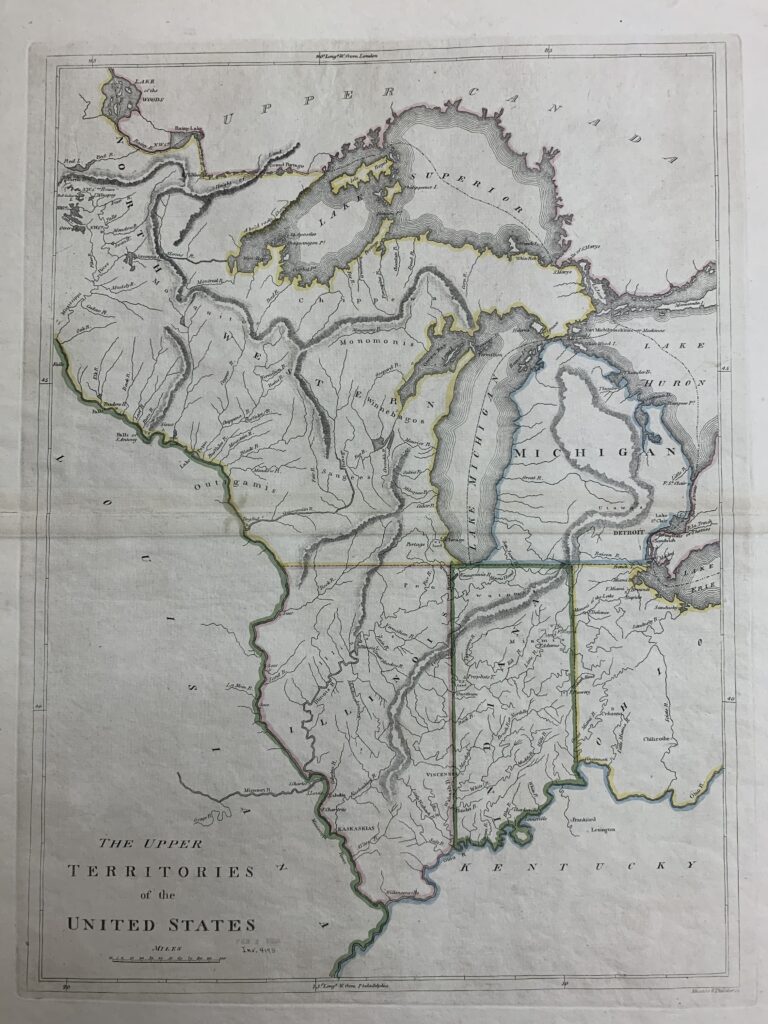
This map shows the proposed boundaries for the proposed state of Illinois as of 1814. The Illinois Congressional delegation, led by Nathaniel Pope, pushed for an amendment to the original statehood bill to extend the border sixty miles north. This ensured access to Lake Michigan and the lead mines in northwest Illinois near Galena.
Map image courtesy of the Wisconsin Historical Society


